Keywords:united, states, california, america, usa, state, landscape, inland, desert, valley, hot, extreme, highway, environment, national, park, wilderness
Photo Info
Dimensions4724 x 7087
Original file size3.43 MB
Image typeJPEG
Color spaceAdobe RGB (1998)
Date taken3-Jun-07 18:14
Shooting Conditions
Camera makeCanon
Camera modelCanon EOS 20D
FlashNot fired, compulsory mode
Exposure modeManual
Exposure prog.Manual
ISO speedISO 100
Metering modeAverage
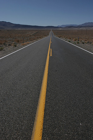
The highway through Death Valley 2
Death Valley is located in Eastern California within the Mojave Desert. It is one of the hottest locations in the world holding the record for the highest temperature in the world - a blazing 56.7 #176;C, at Furnace Creek on July 10, 1913. During this same heat wave five consecutive days reached 54#160;#176;C or above.br/br/The depth and shape of Death Valley influence its summer temperatures. The valley is a long, narrow basin (Badwater Basin) 86 metres below sea level (the lowest in North America), yet is walled by high, steep mountain ranges. The clear, dry air and sparse plant cover allow sunlight to heat the desert surface. Summer nights provide little relief as overnight lows may only dip into the 28#160;to 37#160;#176;C range.