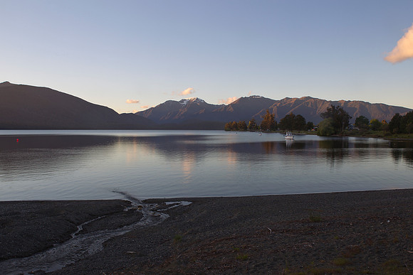
Stream merging into Lake Te Anau 1
Looking to the Te Anau township across Lake Te Anau towards the southern fiord with the Kepler (left) and Murchison Mountains majestically rising over 1400m above the lake.br/br/Lake Te Anau covers an area of 344 km#178;, making it the second-largest lake by surface area in New Zealand and the largest in the South Island; by fresh water volume it is actually the largest lake in Australasia. The main body of the lake runs north-south, and is 65#160;km in length including three large fiords which form arms to the lake on its western flank. The lake lies at an altitude of 210m, and since its maximum depth is 417m, much of its bed lies below sea level. Numerous rivers arise from within Fiordland to feed the lake, the wet climate to the west ensuring the lake is well stocked, with the outflow being the Waiau River flowing from the southern end to merge into Lake Manapouri.