Keywords:New Zealand, big, river, southland, waitutu, forest, remote, isolation, south, coast, track, beach, landscape, scenery, view, nature, natural, fiordland
Photo Info
Dimensions3132 x 4698
Original file size1.1 MB
Image typeJPEG
Color spaceAdobe RGB (1998)
Date taken16-Feb-16 12:12
Date modified25-May-16 13:24
Shooting Conditions
Camera makeCanon
Camera modelCanon EOS-1D Mark IV
Focal length24 mm
Max lens aperturef/2.8
Exposure1/180 at f/16
FlashNot fired, compulsory mode
Exposure bias0 EV
Exposure modeManual
Exposure prog.Manual
ISO speedISO 100
Metering modeCenter-weighted average
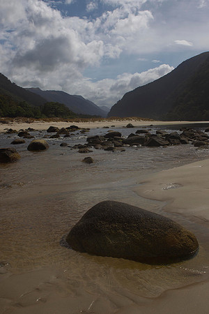
Big River 1
Big River is at the extreme edge of isolation, being on the edge of southern Fiordland. The rapid flow and dark water, together with tidal and inland rainfall influences, render this a very unpredictable river to cross. Although the air teems with bountiful numbers of sandflies, the natural beauty of the area is absolutely stunning.br/br/The South Coast Track, on the south coast of the South Island was originally built in 1896 by government workers to provide access to gold mining settlements at Preservation Inlet, linking it with civiisation in Southland. It starts from Bluecliffs Beach on Te Waewae Bay and winds gently along the coastline through mixed podocarp and beech forest, following an historic 15km tram track past Port Craig, along which logs were transported to the sawmill until its closure in 1928. A standard track continues to the Wairaurahiri River (outflow from Lake Hauroko) and then onwards to the Waitutu River (outflow from Lake Poteriteri).br/br/After this the track becomes a marked route, all built along an historic telephone line (made of #8 wire), that temporarily linked the Puysegur Point Lighthouse on the south-western tip of Fiordland, to civilisation. Insulators can still be seen attached to trees or screwed into the stumps for this bush telephone line. Today the route is marked and maintained by the Department of Conservation as far as Big River, on the edge of southern Fiordland.