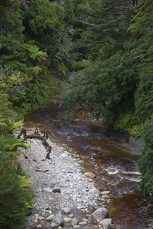
Crossing (via swingbridge) the Arn River on the South Coast Track.br/br/The South Coast Track, on the south coast of the South Island was originally built in 1896 by government workers to provide access to gold mining settlements at Preservation Inlet, linking it with civiisation in Southland. It starts from Bluecliffs Beach on Te Waewae Bay and winds gently along the coastline through mixed podocarp and beech forest, following an historic 15km tram track past Port Craig, along which logs were transported to the sawmill until its closure in 1928. A standard track continues through the vast Waitutu Forest to the Wairaurahiri River (outflow from Lake Hauroko) and then onwards to the Waitutu River (outflow from Lake Poteriteri).br/br/After this the track becomes a marked route, all built along an historic telephone line (made of #8 wire), that temporarily linked the Puysegur Point Lighthouse on the south-western tip of Fiordland, to civilisation. Insulators can still be seen attached to trees or screwed into the stumps for this bush telephone line. Today the route is marked and maintained by the Department of Conservation as far as Big River, on the edge of southern Fiordland.