Thank you for your patience while we retrieve your images.
Taken 9-Dec-12
Visitors 8


47 of 98 photos
Thumbnails
Info
Categories & Keywords

Category:
Subcategory:
Subcategory Detail:
Keywords:New Zealand, Otago, maniototo, sign, road, plain, central
Photo Info

Dimensions4896 x 3264
Original file size10.5 MB
Image typeJPEG
Color spaceAdobe RGB (1998)
Date taken9-Dec-12 10:00
Date modified13-Jan-13 08:43
Shooting Conditions

Camera makeCanon
Camera modelCanon EOS-1D Mark IV
Focal length95 mm
Max lens aperturef/2.8
Exposure1/100 at f/16
FlashNot fired, compulsory mode
Exposure bias0 EV
Exposure modeManual
Exposure prog.Manual
ISO speedISO 100
Metering modePattern
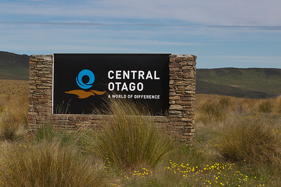
Maniototo border sign 2

Maniototo border sign 2

The Maniototo, includes a large open plain and mountain ranges in central otago in southern New Zealand. The region surrounds the upper reaches of the Taieri and Manuherikia Rivers and is bounded by the Kakanui Range to the north and the Rock and Pillar Range to the southeast. It has a harsh, dry climate, ranging from over 30#176;C in mid-summer to -15#176;C in mid-winter.br/br/The region is sparsely populated, with the largest centres being Ranfurly, Naseby, Omakau, and Ophir.